English
 العربية


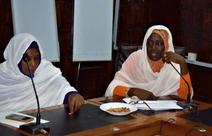
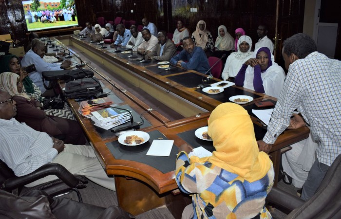
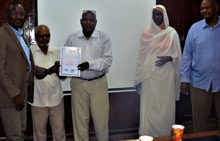
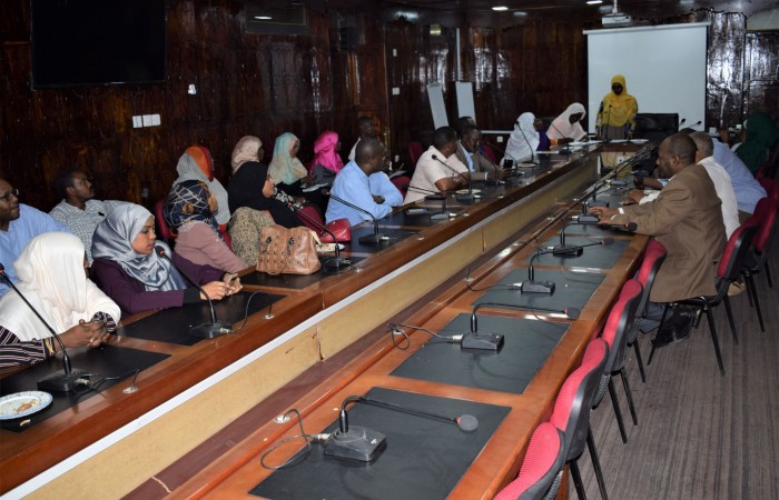
Fire management workshop was held in forests National Corporation Sahel Center during the period 7-12/ 9 / 2019 within the framework of the Sudan forest management. Fire Mapping for Sustainable Development
Workshop Duration: Six days
Main aim of this workshop was to build and raise capacities in the management and monitoring of forest and prairie fires
The workshop was characterized by significant participation from wide sectors with a total of 15 participants (9 women and 6 men) nine forests and six from the relevant authorities Including National expert on wildfires, Sudanese National Remote Sensing Authority , Universities (Kordofan University College of Forestry and Pasture (,General Administration of Civil Defense, General Administration of Wildlife, Meteorological Authority , Focal point of fires , Gums Administration , REDD + program , Range & Pasture Administration,
Topics of the Workshop included the follows
Introduction: What are forest fires and their effects? To prevent fire want needed and what available.
The uses of remote sensing to manage fire , Forest fire analysis with remote sensing data.
How to make Vegetation Index.
Forest fire mapping.
MODIS image interpretation and analysis
How to use vector system